References:
Referent: prof. Mauro FRANCINI,
Body: University of Calabria – Department of Civil Engineering (DINCI)
seat: via P. Bucci, 45B cube
Contacts:
- Tel: 496717
- Web: http://www.ingegneriacivile.unical.it/labpat/
Email: labpat@unical.it
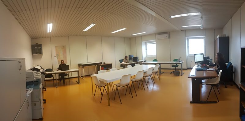
High performance workstation for carrying out tasks
Activities:
The activities of the laboratory concern, predominantly, the development of basic and thematic maps, as well as the creation and management of databases and the application of methods and techniques for image processing. The laboratory's potential in the field of GIS is also significant, which represent a technological support now almost indispensable for the development of plans and projects in the most disparate sectors - especially with a territorial and environmental value - given their ability to integrate different technologies (from remote sensing and aerial photogrammetry, ecc.).
The specific skills of the laboratory therefore concern:
- Supply of current and historical maps and cartographies in various territorial scales both in paper, raster and vector form
- Basic cartography development and management
- Production of environmental thematic cartography
- Preparation of archives and databases
- Use of CAD (Computer Aided Design)
- Using GIS (Geographical Information System)
- Supply of IT support in the use of software for cartography management
- Data processing and printouts
- 2013-2015 “QVQC 2012-2015. Which Speed. Which city. High Speed - The new environmental and territorial scenarios in Europe and Italy ".
- 2012-2014 "RURALIA - Rural marginality between accessibility and services" project funded under the Regional Operational Program (FOR) Calabria - ESF 2007/2013, Axis IV "Human Capital", conducted in collaboration with the Department of Urbanism and Spatial Planning of the Universitat Politècnica de Catalunya - UPC (Barcelona).
- Monitoring of landslides and artifacts.
- 2011 – 2014: monitoring with the integration of topographic techniques of two large landslides in Calabria, or the Maierato landslide (VV) and the Gimigliano landslide (CZ).
- 2011-2013 Project PONa3_00341 - SILA - INTEGRATED SYSTEM of LABORATORIES for the ENVIRONMENT, for the creation of an integrated system of laboratories and research infrastructures for the provision of scientific and technological services dedicated to monitoring, to the control and protection of the environment, the GICEA Laboratory was activated within the project.
- 2011-2013 Project “M2M – Mobile to Mobility. Information and telecommunication systems for road safety "- PON01_01541– MIUR research.
- Relief and representation of the territory, also through the creation of DBT and City Models.
- 2010 – 2011 survey of the urban area affected by the Cosenza - Rende - University of Calabria tramway, for a total 20 km.
- 2010 – 2011 multiresolution survey of the river beds of the Crati and Corace rivers and of the Valanidi river with the integration of aerial and terrestrial techniques and applications for the study of floods.
- 2010-2012 PRIN research project 2008 “ITATOUR: Territorial visions and new mobilities, integrated projects for tourism in the city and in the environment "- MIUR research.
- 2008-2011 Project QVQC 2008-2011. Which Speed. Which city. High Speed - The new environmental and territorial scenarios in Europe and Italy- GIS QVQC and SGI research.
- 2006-2008 Pilot projectTE. – Territorial Regional Laboratories- Interreg IIIC Community Initiative Program "City to City”.